Description
"This is a fabulous map for a fabulous area; for the first time it shows crags, bouldering areas and clear details in what could seem a maze of rock and water. It must surely set the standard for all future maps." John Mackenzie, the Earl of Cromartie.
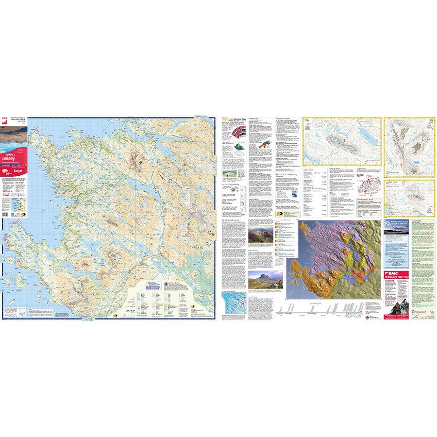
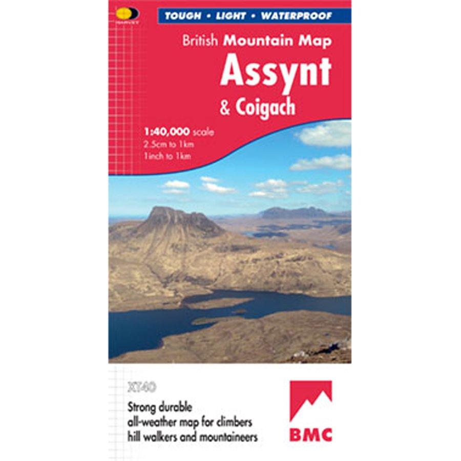
Detailed map for hillwalkers and climbers of the spectacular peaks of Assynt at 1:40,000 scale.
Includes Quinag, Suilven, Stac Pollaidh, Cul Mor and Ben More Assynt.
Enlargements at 1:15,000 scale of Stac Pollaidh, Suilven and Quinag on the reverse.
Climbing crags are highlighted and a climbing route on Stac Pollaidh is included.
The map area includes 2 Munros, 9 Corbetts and 6 Grahams.
- Tough, light, durable and 100% waterproof
- Genuine original HARVEY mapping
- Tried and tested by the British Mountaineering Council and the Mountaineering Council of Scotland
- Scale: 1:40,000
- Ratio: 2.5cm = 1km
- Flat size: 992 x 940mm
- Folded size: 124 x 235mm
- Weight: 90gms
- Area of mapping: 1228sqkm
- Double sided: yes
Delivery
Delivery
Standard Delivery (£3.99)
FREE Delivery* on orders over £50. Delivered within 3-5 working days. A tracking link will be provided once your order is dispatched.
*Excludes bikes and some large items.
Click and Collect
Pay online now and the items will be delivered to store for you to collect. Orders will be kept in store for 14 days before being cancelled.
You will be notified when your order is ready to collect. Please do not travel to store until you have been notified.
Returns
Returns
Returning orders to us is easy. Whatever your reason, we offer a refund or exchange within 30 days of delivery or collection.
Complete the look
Related
FREE delivery* on orders £50+
*Excludes bikes & some other large items
Learn more about deliveries
30 day returns
Product Code: EAPUO4TI0434