Description
Detailed map of Ben Alder for walkers and climbers.
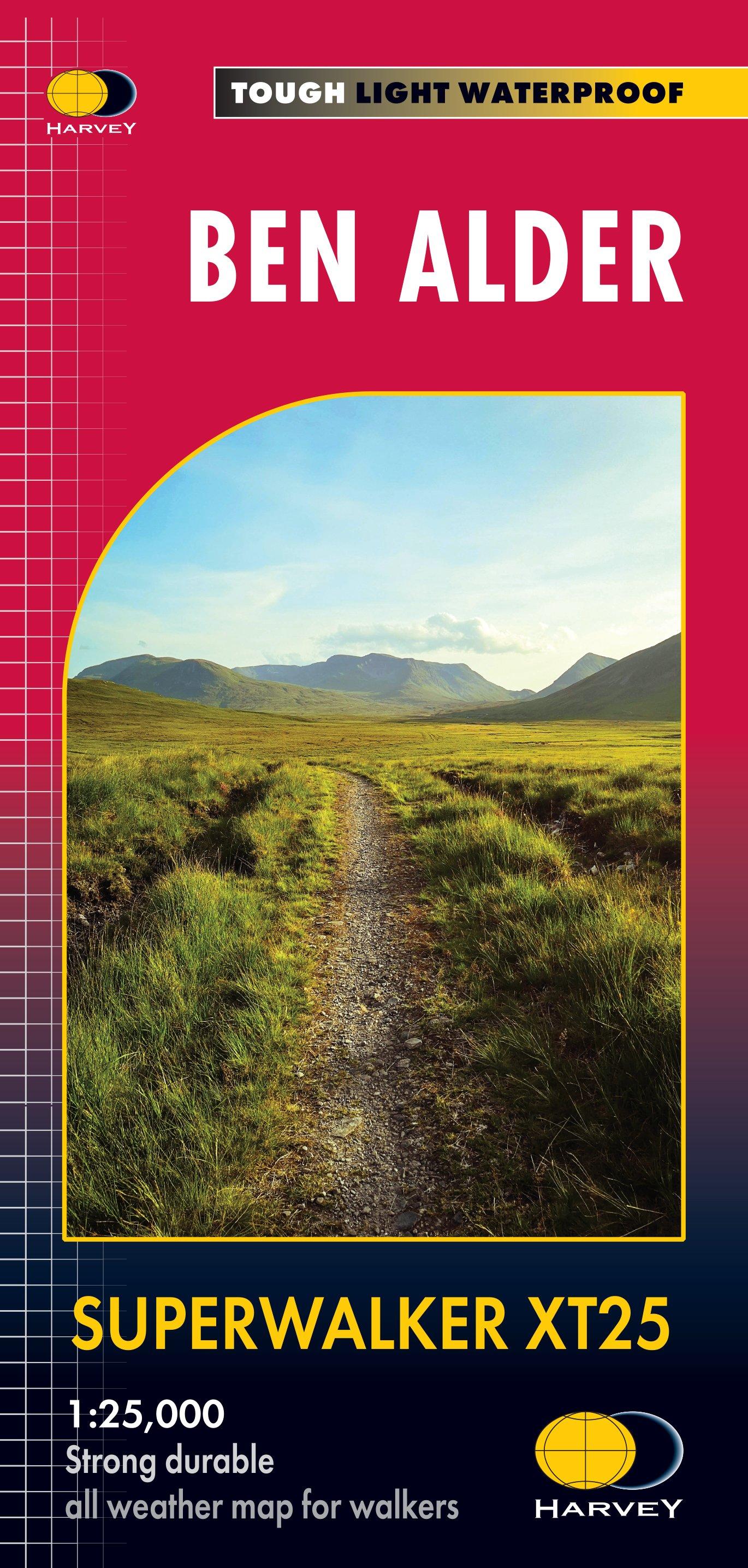
This map for hillwalkers covers the remote area of Ben Alder west of Dalwhinnie and the A9. Corrour Station is in the south west corner of the sheet. The sheet covers 23 Munros, 4 Corbetts and 3 Grahams as well as the Creag Meagaidh National Nature Reserve. Revised format and coverage - the format gives more mapping on the sheet without making the map heavy and bulky. The fold has been developed to allow you to open directly to any part, and either side of the sheet easily - no more struggling in the wind.
- Scale: 1:25,000
- Ratio: 4cm = 1km
- Flat size: 1392 x 486mm
- Folded size: 116 x 243mm
- Weight: 61gms
- Area of mapping: 718sqkm
- Double sided
Delivery
Delivery
Standard Delivery (£3.99)
FREE Delivery* on orders over £50. Delivered within 3-5 working days. A tracking link will be provided once your order is dispatched.
*Excludes bikes and some large items.
Click and Collect
Pay online now and the items will be delivered to store for you to collect. Orders will be kept in store for 14 days before being cancelled.
You will be notified when your order is ready to collect. Please do not travel to store until you have been notified.
Returns
Returns
Returning orders to us is easy. Whatever your reason, we offer a refund or exchange within 30 days of delivery or collection.
Complete the look
Related
FREE delivery* on orders £50+
*Excludes bikes & some other large items
Learn more about deliveries
30 day returns
Product Code: EAPUO4TI0050