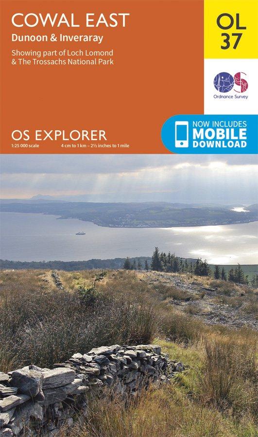
Description
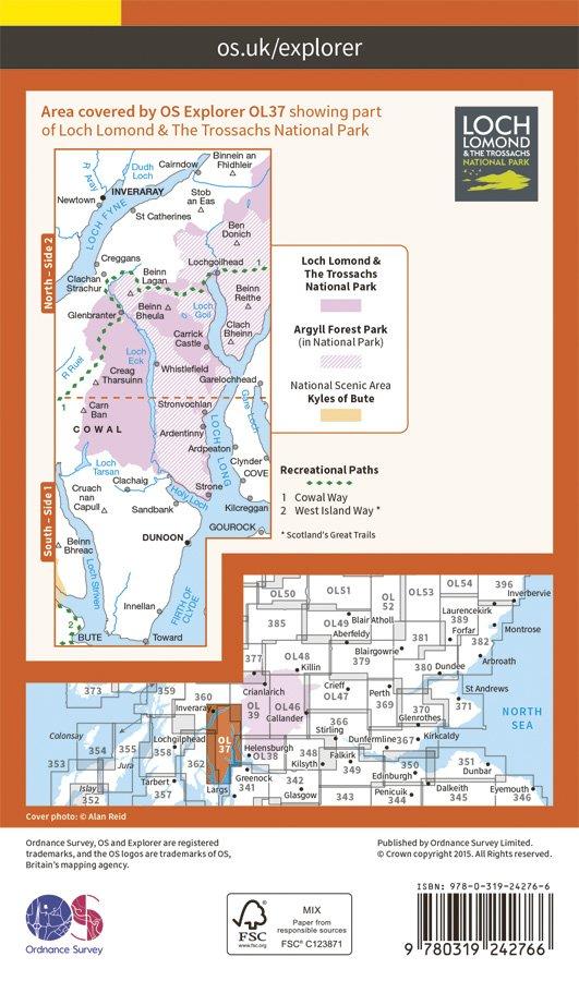
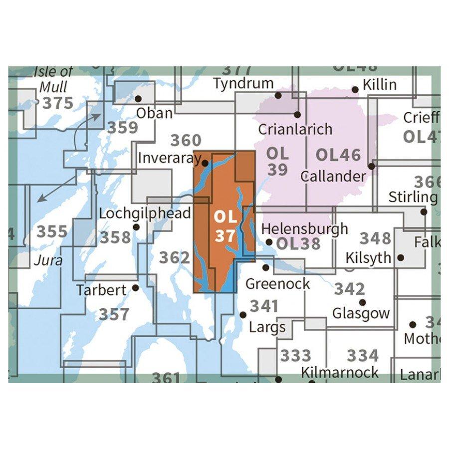
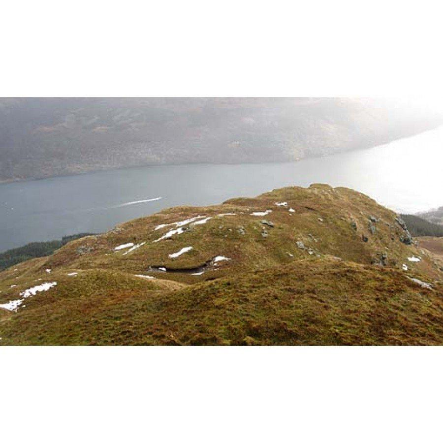
Map sheet number OL 37 covers Cowal East, Dunoon and Inveraray. Highlights include Loch Lomond and The Trossachs National Park, Argyll Forest Park and Kyles of Bute. Also includes Loch Fyne, Holy Loch and West Island Way This map replaces the previous OS Explorer map 363 for this area.
With this map you will receive a code for use on your iOS or Android smartphone or tablet, simply download the OS app from the app store for free enter the unique code on your map and you're ready to go!
Please note we can not accept maps which have had the panel covering the unique code back for a refund or exchange.
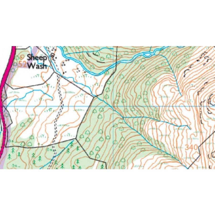
- 1:25,000 Scale
- Publication Date: 10/06/15
Delivery
Delivery
Standard Delivery (£3.99)
FREE Delivery* on orders over £50. Delivered within 3-5 working days. A tracking link will be provided once your order is dispatched.
*Excludes bikes and some large items.
Click and Collect
Pay online now and the items will be delivered to store for you to collect. Orders will be kept in store for 14 days before being cancelled.
You will be notified when your order is ready to collect. Please do not travel to store until you have been notified.
Returns
Returns
Returning orders to us is easy. Whatever your reason, we offer a refund or exchange within 30 days of delivery or collection.
Complete the look
Related
FREE delivery* on orders £50+
*Excludes bikes & some other large items
Learn more about deliveries
30 day returns
Product Code: EAPUO4TI0402