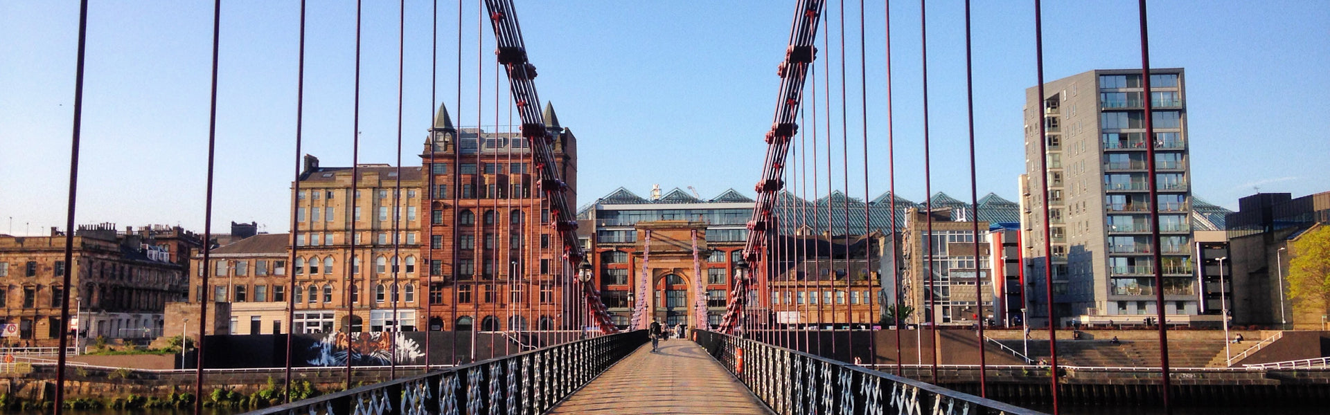
Get Out of Glasgow | Four Cycle Routes to Inspire You
It's time to embrace the Scottish not-Winter (whatever it serves up) and soon we can go further afield on two wheels. Getting out of the city can be liberating, but often we're stuck with not knowing where to go.
The following are 4 routes radiating out from Glasgow in which you can experience some of the city’s urban nature and surrounding landscapes. There's one each heading north, south, east and west from the city centre, identified for their varying level of cycling ability required, and with some extra information on potential train links and other attractions en route.

East: Glasgow to Uddingston
Difficulty: Easy!
This route, much of which is traffic free, quite flat and well signposted, is a great option for less confident cyclists, families, or if you are just out for a leisurely pedal. From the city centre's Glasgow Green park with the iconic McLennan Arch, it follows the meanders of the north bank of the River Clyde east past Rutherglen and Cambuslang. This is followed by a few on-road sections to Uddingston, which some users should be aware of. It has plenty places for a bite to eat (remember your mask!) and a juice, while Bothwell Castle is close by.

West: Glasgow to Loch Lomond
Difficulty: Easy (but can be made quite long)
This is another route that’s flat and has a number of traffic-free sections, taking you westwards along a mixture of cycle paths, roads and the Clyde canal towpath. From the city centre it follows the Clyde cycle path past the SECC exhibition centres and Riverside Museum towards Clydebank, where it joins the canal. Passing places such as Bowling and Dumbarton, you can continue on towards Balloch, a picturesque town situated on the south bank of Loch Lomond.
While it might be quite a long route for some, there’s definitely a great reward in the feeling that you have cycled from a city centre to an iconic natural landmark like Loch Lomond! This route also offers a number of ‘escape routes’ by train to return to Glasgow – Dalmuir, Bowling, Dumbarton and Balloch are just some of the stop-offs with a station.

South: Glasgow to Eaglesham
Difficulty: Moderate (some climbing and with the option to lengthen your route)
This route involves quite a bit of climbing, but you are rewarded by some fantastic views of the city and towards the west coast, and one of the best pieces of ‘segregated cycleway’ infrastructure around the city (and probably the country). As a loop it can be done in either direction. The café at the huge Whitelee Windfarm is a great stop point for coffee and cake before the road descends towards the junction with the A77.
Here a fully segregated 2-way cycle path, with a good surface, extends between Newton Mearns on the outskirts of Glasgow all the way south to Fenwick, and offers some of the best traffic free cycling around Glasgow for riders of all levels. Whether you turn south to Fenwick here, or return north back towards Glasgow, you are rewarded with a fantastic stretch of ‘stress-free’ cycling for a number of kilometres. An on-road cycle path (not segregated) continues on the gradual descent towards the city along the Ayr Road through Newton Mearns and Giffnock, and eventually through Shawlands and back to the city centre. While the A77 section offers great traffic free cycling, much of the route is on roads that can be quite busy, and suits a more confident cyclist.

North: Glasgow over Crow Road
Difficulty: More challenging (with some good climbing)
This is quite a demanding route to the north of the city, particularly because of the two pretty tough hills involved. However, it’s a really great challenge for cyclists who want to improve their hill climbing and stamina. From the city centre you can cycle north on a variety of routes, such as Bishopbriggs to Kirkintilloch, and then to either Lennoxtown (where the Crow Road hill begins) or Kilsyth (where the Tak-ma-doon climb starts).
Then, when over the climb, turn right onto the B818 for a great long stretch of small undulating hills past the Carron Valley reservoir, before turning south at the Carron Bridge junction to ascend the Tak-ma-doon from the ‘easier’ side. An exhilarating descent to Kilsyth is then just a few kilometres from the station at Croy, where you can catch a train back to Glasgow if necessary. This is a pretty tough cycle, with around 600-700m climbing, but really rewarding; while the anticlockwise route (up the Tak-ma-doon from the south, and back via the Crow Road) is considered an even more testing challenge.
Useful tips and information:
The ‘East’ and ‘West’ routes described here are part of the National Cycle Network (NCN)- known as Route 75 and Route 7 respectively. Cycling and walking charity Sustrans are the ‘go to’ resource for information on the NCN, including on any diversions that are currently in place.
We're pretty used to COVID rules changing, so please be aware of local lockdown changes and any restrictions which permit or hinder your access across local authority areas outside your own. Remember to always take a mask in case of a coffee stop or if you need to unexpectantly jump on a train to get home.